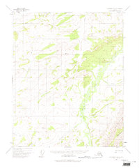
1951 Map of Livengood C-2
USGS Topo · Published 1975About this map
The White Mountains dominate the southeastern reach of this interior landscape, where the Fairbanks Meridian serves as the primary longitudinal reference. The interior Alaskan wilderness is defined here by an intricate drainage system, with the Tolovana River and Beaver Creek carving paths through high-elevation terrain. Surveyed primarily from 1951 aerial photography, the map reveals a remote environment with very little permanent human infrastructure, save for isolated outposts like the Cabin located along the banks of Beaver Creek.
Find a feature on this map
19 named features on this map. Tap any name to fly to it.
Don’t see what you’re looking for? This feature index may not catch every label — zoom into the map to look around manually.
Map Details
Editions of this 1951 Livengood C-2 Map
3 editions found
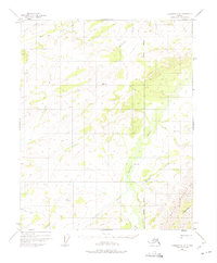
Other maps of this area

1945 · Livengood
USGS Topo · 1:250,000

1951 · Livengood
USGS Topo · 1:250,000

1951 · Livengood D-3
USGS Topo · 1:63,360

1951 · Livengood C-2
USGS Topo · 1:63,360

1951 · Livengood C-1
USGS Topo · 1:63,360

1951 · Livengood B-2
USGS Topo · 1:63,360

1952 · Livengood D-2
USGS Topo · 1:63,360

1952 · Livengood D-1
USGS Topo · 1:63,360

1954 · Livengood C-2
USGS Topo · 1:63,360

1954 · Livengood C-1
USGS Topo · 1:63,360