
1951 Map of Livengood B-2
USGS Topo · Published 1980About this map
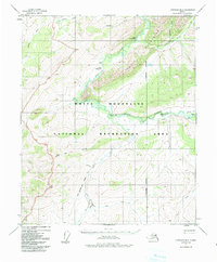
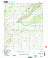
White Mountains and the northern extent of the Yukon Flats National Monument dominate this 1951 topographic study. The landscape is defined by the winding course of Beaver Creek and the Tatalina River, where remote aviation outposts like Hermans Landing Strip and Shebal Landing Strip provided essential access for interior Alaskan travel. The presence of isolated structures, such as the Borealis-Le Fevre Cabin, suggests a geography of subsistence and early resource exploration. Transport through this interior region relied heavily on seasonal routes, evidenced by the White Mtn Trail (Winter) and several nameless pack trails that traverse the divide between Wickersham Creek and the high point at VABM Sham 3218.
Find a feature on this map
22 named features on this map. Tap any name to fly to it.
Don’t see what you’re looking for? This feature index may not catch every label — zoom into the map to look around manually.
Map Details
Editions of this 1951 Livengood B-2 Map
3 editions found
Other maps of this area

1945 · Livengood
USGS Topo · 1:250,000

1951 · Livengood
USGS Topo · 1:250,000

1951 · Livengood C-2
USGS Topo · 1:63,360

1951 · Livengood C-1
USGS Topo · 1:63,360

1952 · Livengood A-2
USGS Topo · 1:63,360

1952 · Livengood A-1
USGS Topo · 1:63,360

1953 · Livengood A-3
USGS Topo · 1:63,360

1954 · Livengood C-2
USGS Topo · 1:63,360

1954 · Livengood C-1
USGS Topo · 1:63,360

1954 · Livengood B-3
USGS Topo · 1:63,360