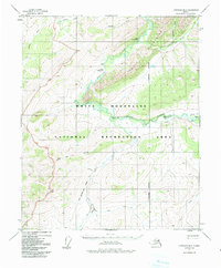
1951 Map of Livengood B-2
USGS Topo · Published 1991About this map
The White Mountains dominate this interior landscape, centered on the White Mountains National Recreation Area during the mid-20th century. The region is defined by its isolation and limited access points, such as the Shebel Landing Strip and Hermans Landing Strip, which emphasize the dependence on bush aviation in the Alaskan interior. Several historic trails cross the terrain, including the White Mountain Trail and its designated winter route, connecting remote outposts like the Borealis-Le Fevre Cabin.
Find a feature on this map
21 named features on this map. Tap any name to fly to it.
Don’t see what you’re looking for? This feature index may not catch every label — zoom into the map to look around manually.
Map Details
Editions of this 1951 Livengood B-2 Map
3 editions found
Other maps of this area

1945 · Livengood
USGS Topo · 1:250,000

1951 · Livengood
USGS Topo · 1:250,000

1951 · Livengood C-2
USGS Topo · 1:63,360

1951 · Livengood C-1
USGS Topo · 1:63,360

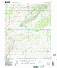
1951 · Livengood B-2
USGS Topo · 1:63,360

1952 · Livengood A-2
USGS Topo · 1:63,360

1952 · Livengood A-1
USGS Topo · 1:63,360

1953 · Livengood A-3
USGS Topo · 1:63,360

1954 · Livengood C-2
USGS Topo · 1:63,360

1954 · Livengood C-1
USGS Topo · 1:63,360