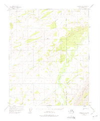
1951 Map of Livengood C-2
USGS Topo · Published 1975About this map
Beaver Creek and the southern reaches of the White Mountains dominate this 1951 topographic survey of the Alaskan interior. This era of mapping captured the territory before extensive modern development, documenting a landscape defined by an intricate network of waterways such as the Tolovana River and the Tatalina R. Evidence of human presence is sparse but specific, marked by a lone Cabin near the northern banks of Beaver Creek, a vital reference point for early travelers and trappers in the region.
Find a feature on this map
18 named features on this map. Tap any name to fly to it.
Don’t see what you’re looking for? This feature index may not catch every label — zoom into the map to look around manually.
Map Details
Editions of this 1951 Livengood C-2 Map
3 editions found
Other maps of this area

1945 · Livengood
USGS Topo · 1:250,000

1951 · Livengood
USGS Topo · 1:250,000

1951 · Livengood D-3
USGS Topo · 1:63,360

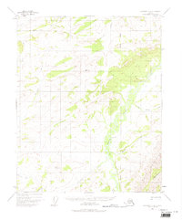
1951 · Livengood C-2
USGS Topo · 1:63,360

1951 · Livengood C-1
USGS Topo · 1:63,360

1951 · Livengood B-2
USGS Topo · 1:63,360

1952 · Livengood D-2
USGS Topo · 1:63,360

1952 · Livengood D-1
USGS Topo · 1:63,360

1954 · Livengood C-2
USGS Topo · 1:63,360

1954 · Livengood C-1
USGS Topo · 1:63,360