
1952 Map of Livengood B-5
USGS Topo · Published 1959About this map
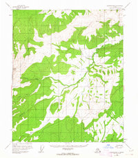
Sawtooth Mountain anchors this 1952 topographic study of the Interior Alaskan wilderness, where the high peaks of the Yukon-Koyukuk region give way to a complex system of drainage basins. The landscape is defined by the Western Fork Tolovana River and its numerous tributaries, including Chocolate Creek, Goose Creek, and Starvation Creek. A remote Airstrip and a network of Tractor Trails indicate early 1950s activity in an area otherwise marked by isolated Cabins. The survey captures a moment in the territory’s history before major infrastructure, showing a rely on primitive overland routes and seasonal waterways like Mud Fork and Moose Creek. Small clusters of Cabins near the riverbanks suggest the sparse, utilitarian settlement patterns of trappers or early prospectors navigating the drainage of Montana Creek and Idaho Creek.
Find a feature on this map
16 named features on this map. Tap any name to fly to it.
Don’t see what you’re looking for? This feature index may not catch every label — zoom into the map to look around manually.
Map Details
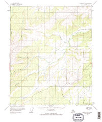
Editions of this 1952 Livengood B-5 Map
3 editions found
Other maps of this area

1945 · Livengood
USGS Topo · 1:250,000

1951 · Livengood
USGS Topo · 1:250,000

1951 · Livengood A-5
USGS Topo · 1:63,360

1951 · Livengood A-4
USGS Topo · 1:63,360

1952 · Livengood A-6
USGS Topo · 1:63,360

1952 · Livengood C-5
USGS Topo · 1:63,360

1952 · Livengood C-4
USGS Topo · 1:63,360

1953 · Livengood B-4
USGS Topo · 1:63,360

1953 · Livengood A-4
USGS Topo · 1:63,360

1953 · Livengood A-6
USGS Topo · 1:63,360