
1953 Map of Livengood A-6
USGS Topo · Published 1965About this map
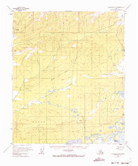
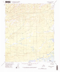
Hutlinana Hot Spring stands as a notable natural feature in the northwest corner of this Interior Alaska landscape, which was documented during a period of transition in the early 1950s. The terrain is defined by a complex network of waterways, including Hutlinana Creek, Hutlitakwa Creek, and the broad, meandering Tolovana River at the southern edge. A significant geographic detail is the presence of a pingo near the center of the map, a distinctive permafrost landform.
Find a feature on this map
16 named features on this map. Tap any name to fly to it.
Don’t see what you’re looking for? This feature index may not catch every label — zoom into the map to look around manually.
Map Details
Editions of this 1953 Livengood A-6 Map
3 editions found
Other maps of this area

1945 · Livengood
USGS Topo · 1:250,000

1948 · Kantishna River
USGS Topo · 1:250,000

1950 · Fairbanks
USGS Topo · 1:250,000

1950 · Fairbanks D-5
USGS Topo · 1:63,360

1951 · Kantishna River
USGS Topo · 1:250,000

1951 · Fairbanks
USGS Topo · 1:250,000

1951 · Tanana
USGS Topo · 1:250,000

1951 · Livengood
USGS Topo · 1:250,000

1951 · Livengood A-5
USGS Topo · 1:63,360

1952 · Tanana A-1
USGS Topo · 1:63,360