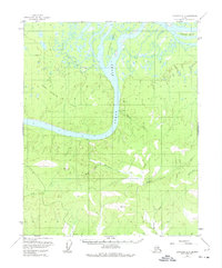
1952 Map of Livengood D-5
USGS Topo · Published 1974About this map
The Yukon River cuts a wide path through this interior Alaska landscape, dominated by the shifting channels and landforms of the river basin. At the center of the waterway lies Chetlechak Island, a large landmass surrounded by the braided currents of the Yukon. To the west, the Little Dall River meanders toward its confluence, while the rising elevations of the Fort Hamlin Hills define the southern terrain.
Find a feature on this map
16 named features on this map. Tap any name to fly to it.
Don’t see what you’re looking for? This feature index may not catch every label — zoom into the map to look around manually.
Map Details
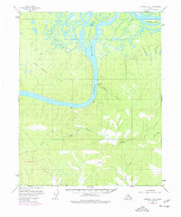
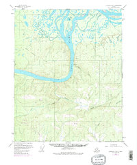
Editions of this 1952 Livengood D-5 Map
4 editions found
Other maps of this area

1945 · Livengood
USGS Topo · 1:250,000

1951 · Livengood
USGS Topo · 1:250,000

1951 · Beaver
USGS Topo · 1:250,000

1952 · Livengood C-5
USGS Topo · 1:63,360

1952 · Livengood D-5
USGS Topo · 1:63,360

1952 · Livengood C-4
USGS Topo · 1:63,360

1953 · Livengood D-4
USGS Topo · 1:63,360

1954 · Livengood D-4
USGS Topo · 1:63,360

1954 · Livengood C-4
USGS Topo · 1:63,360

1956 · Beaver A-5
USGS Topo · 1:63,360