
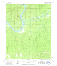
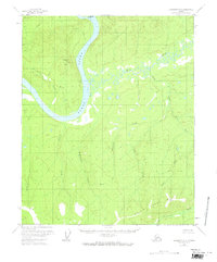
1956 Map of Livengood C-6
USGS Topo · Published 1959About this map
The Yukon River carves a dominant path through this interior Alaska landscape, framed by a complex network of tributaries such as Hess Creek and Twentymile Creek. This 1950s survey documents a region defined by its waterway access, where the river serves as the primary artery for travel and resource extraction. Evidence of early industry and settlement appears at the Drew Mine and a lone Cabin along the riverbank, indicating the sparse but deliberate human footprint in the territory.
Find a feature on this map
19 named features on this map. Tap any name to fly to it.
Don’t see what you’re looking for? This feature index may not catch every label — zoom into the map to look around manually.
Map Details
Editions of this 1956 Livengood C-6 Map
3 editions found
Other maps of this area

1945 · Livengood
USGS Topo · 1:250,000

1951 · Tanana
USGS Topo · 1:250,000

1951 · Livengood
USGS Topo · 1:250,000

1952 · Livengood C-5
USGS Topo · 1:63,360

1952 · Livengood B-5
USGS Topo · 1:63,360

1952 · Livengood D-5
USGS Topo · 1:63,360

1956 · Tanana B-1
USGS Topo · 1:63,360

1956 · Tanana C-1
USGS Topo · 1:63,360

1956 · Livengood B-6
USGS Topo · 1:63,360

1956 · Livengood D-6
USGS Topo · 1:63,360