
1956 Map of Livengood D-6
USGS Topo · Published 1959About this map
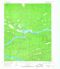
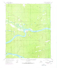
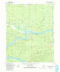
The Yukon River carves a winding path through this interior landscape, defining the topography south of the Fort Hamlin Hills. In this mid-century survey, the river is a network of braids and islands, including Sightas Island, Kalka Island, and Crescent Island. The confluence with the Hess River and Big Salt Creek reveals a complex marshy lowland that contrasts with the surrounding high ground. Isolated human presence is marked by a single Cabin and the landing at Woodcamp, illustrating the sparse settlement pattern typical of the Yukon-Koyukuk region before modern infrastructure. The terrain rises sharply to the east toward Smoothface Mountain, with interior drainage provided by Isom Creek and Ray Creek. The map also identifies triangulation stations such as VABM 602 Kon and VABM 2306 Lynx, which served as the primary geodetic control points for this remote wilderness mapping effort.
Find a feature on this map
14 named features on this map. Tap any name to fly to it.
Don’t see what you’re looking for? This feature index may not catch every label — zoom into the map to look around manually.
Map Details
Editions of this 1956 Livengood D-6 Map
4 editions found
Other maps of this area

1945 · Livengood
USGS Topo · 1:250,000

1951 · Bettles
USGS Topo · 1:250,000

1951 · Tanana
USGS Topo · 1:250,000

1951 · Livengood
USGS Topo · 1:250,000

1951 · Beaver
USGS Topo · 1:250,000

1952 · Livengood C-5
USGS Topo · 1:63,360

1952 · Livengood D-5
USGS Topo · 1:63,360

1956 · Bettles
USGS Topo · 1:250,000

1956 · Beaver A-5
USGS Topo · 1:63,360

1956 · Tanana C-1
USGS Topo · 1:63,360