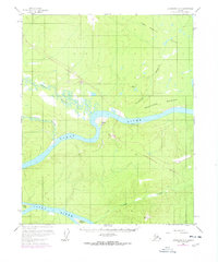
1956 Map of Livengood D-6
USGS Topo · Published 1978About this map
The Yukon River carves a massive course through this subarctic interior, winding past large river islands like Sightas Island and Kalka Island. While the landscape is dominated by the Fort Hamlin Hills and Smoothface Mountain, the 1970s additions to this survey document a pivotal moment in Alaskian infrastructure. Purple revisions trace The Trans-Alaska Pipeline as it was under construction, slicing south through the wilderness toward a designated Pumping Station.
Find a feature on this map
18 named features on this map. Tap any name to fly to it.
Don’t see what you’re looking for? This feature index may not catch every label — zoom into the map to look around manually.
Map Details
Editions of this 1956 Livengood D-6 Map
4 editions found

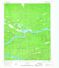
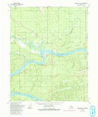
Other maps of this area

1945 · Livengood
USGS Topo · 1:250,000

1951 · Bettles
USGS Topo · 1:250,000

1951 · Tanana
USGS Topo · 1:250,000

1951 · Livengood
USGS Topo · 1:250,000

1951 · Beaver
USGS Topo · 1:250,000

1952 · Livengood C-5
USGS Topo · 1:63,360

1952 · Livengood D-5
USGS Topo · 1:63,360

1956 · Bettles
USGS Topo · 1:250,000

1956 · Beaver A-5
USGS Topo · 1:63,360

1956 · Tanana C-1
USGS Topo · 1:63,360