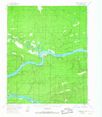
1956 Map of Livengood D-6
USGS Topo · Published 1967About this map
The Yukon River carves a massive path through this interior Alaska landscape, defining a remote wilderness marked by winding tributaries and isolated landforms. In the mid-1950s, the terrain south of the Fort Hamlin Hills was largely uninhabited, characterized by a series of braided river systems and small islands such as Sightas Island and Crescent Island. A solitary cabin located along a northern bend of the Yukon serves as a rare sign of human activity in an area otherwise dominated by the natural drainage of the Ray River and Big Salt River.
Find a feature on this map
13 named features on this map. Tap any name to fly to it.
Don’t see what you’re looking for? This feature index may not catch every label — zoom into the map to look around manually.
Map Details
Editions of this 1956 Livengood D-6 Map
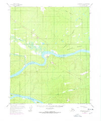
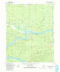
4 editions found

Other maps of this area

1945 · Livengood
USGS Topo · 1:250,000

1951 · Bettles
USGS Topo · 1:250,000

1951 · Tanana
USGS Topo · 1:250,000

1951 · Livengood
USGS Topo · 1:250,000

1951 · Beaver
USGS Topo · 1:250,000

1952 · Livengood C-5
USGS Topo · 1:63,360

1952 · Livengood D-5
USGS Topo · 1:63,360

1956 · Bettles
USGS Topo · 1:250,000

1956 · Beaver A-5
USGS Topo · 1:63,360

1956 · Tanana C-1
USGS Topo · 1:63,360