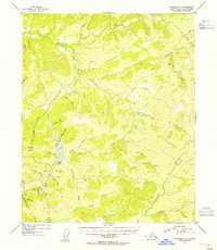
1954 Map of Livengood C-3
USGS Topo · Published 1955About this map
The settlement of Livengood serves as the focal point of this mid-1950s interior Alaska landscape, situated at the base of Livengood Dome. The map illustrates a region defined by its historic gold mining activity, evidenced by features such as the Heine Creek Aqueduct and the presence of Tailings and various Mine sites. The drainage pattern is complex, with Goldstream Creek and Hess Creek carving through the high country. Prospecting history is etched into the names of the small tributaries, including Discovery Pup, Lucky Gulch, and May Gulch, which feed into larger systems like California Creek and Patterson Creek. This period of topographic mapping reveals the infrastructure required for sub-arctic resource extraction, including the prominent Ditch network and trails that connect remote camps to the central hub near Amy Dome.
Find a feature on this map
44 named features on this map. Tap any name to fly to it.
Don’t see what you’re looking for? This feature index may not catch every label — zoom into the map to look around manually.
Map Details
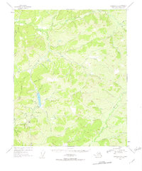
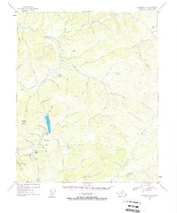
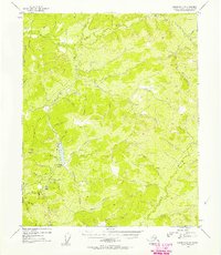
Editions of this 1954 Livengood C-3 Map
4 editions found
Other maps of this area

1945 · Livengood
USGS Topo · 1:250,000

1951 · Livengood
USGS Topo · 1:250,000

1951 · Livengood D-3
USGS Topo · 1:63,360

1951 · Livengood C-2
USGS Topo · 1:63,360

1951 · Livengood B-2
USGS Topo · 1:63,360

1952 · Livengood C-4
USGS Topo · 1:63,360

1952 · Livengood D-2
USGS Topo · 1:63,360

1953 · Livengood B-4
USGS Topo · 1:63,360

1953 · Livengood D-4
USGS Topo · 1:63,360

1954 · Livengood C-2
USGS Topo · 1:63,360