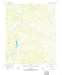
1954 Map of Livengood C-3
USGS Topo · Published 1957About this map
Gold mining operations and technical infrastructure dominate this mid-century topographic study of the Interior Alaska landscape. Located near the prominent Livengood Dome, the map highlights the industrial heritage of the region through marked Mine sites and extensive Tailings deposits along the valley floors. The complex hydrology of the area is represented by an intricate network of waterways, including the North Fork and South Fork tributaries, alongside man-made features like the Ditch and Heine Creek aqueduct systems designed for hydraulic mining. Numerous named gulches and pups, such as Helen Gulch and Discovery Pup, indicate a history of localized prospecting and extraction. High elevation landmarks like Amy Dome provide a clear perspective on the watershed that feeds into Hess Creek and the surrounding drainages of Patterson Creek and Wolf Creek.
Find a feature on this map
46 named features on this map. Tap any name to fly to it.
Don’t see what you’re looking for? This feature index may not catch every label — zoom into the map to look around manually.
Map Details
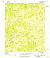
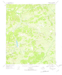
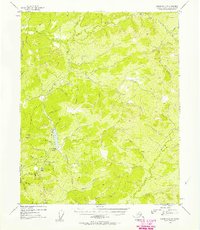
Editions of this 1954 Livengood C-3 Map
4 editions found
Other maps of this area

1945 · Livengood
USGS Topo · 1:250,000

1951 · Livengood
USGS Topo · 1:250,000

1951 · Livengood D-3
USGS Topo · 1:63,360

1951 · Livengood C-2
USGS Topo · 1:63,360

1951 · Livengood B-2
USGS Topo · 1:63,360

1952 · Livengood C-4
USGS Topo · 1:63,360

1952 · Livengood D-2
USGS Topo · 1:63,360

1953 · Livengood B-4
USGS Topo · 1:63,360

1953 · Livengood D-4
USGS Topo · 1:63,360

1954 · Livengood C-2
USGS Topo · 1:63,360