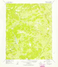
1954 Map of Livengood C-3
USGS Topo · Published 1957About this map
Livengood Creek and its complex network of tributaries define this 1950s interior Alaskan landscape, which reveals a clear pattern of industrial exploration and water management. Evidence of hydraulic mining operations is prominent, particularly the Heine Creek Aqueduct and various Ditch markers that indicate a sophisticated system for moving water across the terrain. Remnants of these efforts are visible in the extensive Tailings found along the drainage near Livengood Dome. The drainage systems of Hess Creek and the North Fork dominate the northern portion of the quadrangle, while the southern section is anchored by Amy Dome. This era of documentation shows the naming of countless small drainages like Discovery Pup, Snow Gulch, and Helen Gulch, reflecting the localized scale of prospecting and settlement during this period of development in the Yukon-Koyukuk region.
Find a feature on this map
41 named features on this map. Tap any name to fly to it.
Don’t see what you’re looking for? This feature index may not catch every label — zoom into the map to look around manually.
Map Details
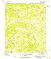
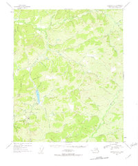
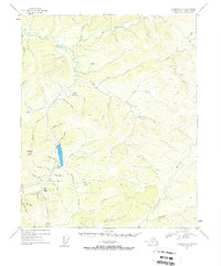
Editions of this 1954 Livengood C-3 Map
4 editions found
Other maps of this area

1945 · Livengood
USGS Topo · 1:250,000

1951 · Livengood
USGS Topo · 1:250,000

1951 · Livengood D-3
USGS Topo · 1:63,360

1951 · Livengood C-2
USGS Topo · 1:63,360

1951 · Livengood B-2
USGS Topo · 1:63,360

1952 · Livengood C-4
USGS Topo · 1:63,360

1952 · Livengood D-2
USGS Topo · 1:63,360

1953 · Livengood B-4
USGS Topo · 1:63,360

1953 · Livengood D-4
USGS Topo · 1:63,360

1954 · Livengood C-2
USGS Topo · 1:63,360