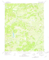
1954 Map of Livengood C-3
USGS Topo · Published 1957About this map
Livengood serves as the primary focal point in this 1954 landscape, situated at the base of Livengood Dome. The interior of Alaska is characterized here by an intricate drainage system, where the Heine Creek Aqueduct reflects significant resource management efforts near the settlement. The map documents a topography defined by steep ridges and winding watercourses, including the South Fork and North Fork of the Hess Creek drainage.
Find a feature on this map
41 named features on this map. Tap any name to fly to it.
Don’t see what you’re looking for? This feature index may not catch every label — zoom into the map to look around manually.
Map Details
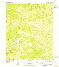
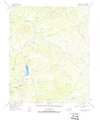
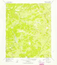
Editions of this 1954 Livengood C-3 Map
4 editions found
Other maps of this area

1945 · Livengood
USGS Topo · 1:250,000

1951 · Livengood
USGS Topo · 1:250,000

1951 · Livengood D-3
USGS Topo · 1:63,360

1951 · Livengood C-2
USGS Topo · 1:63,360

1951 · Livengood B-2
USGS Topo · 1:63,360

1952 · Livengood C-4
USGS Topo · 1:63,360

1952 · Livengood D-2
USGS Topo · 1:63,360

1953 · Livengood B-4
USGS Topo · 1:63,360

1953 · Livengood D-4
USGS Topo · 1:63,360

1954 · Livengood C-2
USGS Topo · 1:63,360