
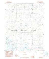
1956 Map of Beaver B-3
USGS Topo · Published 1959About this map
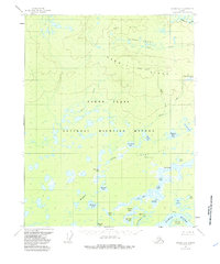
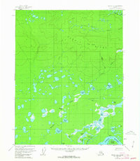
The Yukon River and the abandoned site of Purgatory define this stretch of the Alaskan interior during the mid-1950s. The landscape is a complex network of wetlands and thousands of small ponds, particularly concentrated south of Hermit Ridge and Little Dome. Notable water bodies like Roaring Bear Lake, John Barleycorn Lakes, and Dr Cook Lake dot the lowlands between the Sand Hills and the winding Hodzana River. The presence of the Marten Island in the Yukon suggests a shifting river channel, while landmarks like VABM Purgatory provide reference points for early aerial surveys. This map captures a remote subarctic environment before significant modern intervention, where drainage patterns like Meadow Creek and Owl Creek dictate the local geography.
Find a feature on this map
37 named features on this map. Tap any name to fly to it.
Don’t see what you’re looking for? This feature index may not catch every label — zoom into the map to look around manually.
Map Details
Editions of this 1956 Beaver B-3 Map
3 editions found
Other maps of this area

1951 · Beaver
USGS Topo · 1:250,000

1956 · Beaver B-2
USGS Topo · 1:63,360

1956 · Beaver A-3
USGS Topo · 1:63,360
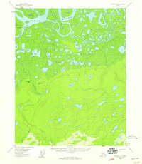
1956 · Beaver A-2
USGS Topo · 1:63,360

1956 · Beaver
USGS Topo · 1:250,000

1956 · Beaver A-4
USGS Topo · 1:63,360

1956 · Beaver B-4
USGS Topo · 1:63,360

1964 · Beaver
USGS Topo · 1:250,000
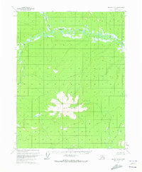
1970 · Beaver C-4
USGS Topo · 1:63,360
1990 · Beaver C-2
USGS Topo · 1:63,360