
1956 Map of Beaver B-4
USGS Topo · Published 1959About this map
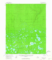
Tulebagh Lake and the vast marshlands of the Yukon-Koyukuk region define this 1956 topographical study. The landscape is a dense network of water and wetlands, where the Tanjoga Lake system connects with smaller bodies like Flat Lake, Clochacohua Lake, and Fishnet Lake. This intricate aquatic environment highlights the seasonal drainage patterns of the Alaskan interior, showing how the land transforms into a sprawling wetland south of the higher elevations.
Find a feature on this map
9 named features on this map. Tap any name to fly to it.
Don’t see what you’re looking for? This feature index may not catch every label — zoom into the map to look around manually.
Map Details
Editions of this 1956 Beaver B-4 Map
3 editions found
Other maps of this area

1951 · Beaver
USGS Topo · 1:250,000

1956 · Beaver A-5
USGS Topo · 1:63,360

1956 · Beaver B-3
USGS Topo · 1:63,360

1956 · Beaver A-3
USGS Topo · 1:63,360

1956 · Beaver B-5
USGS Topo · 1:63,360

1956 · Beaver
USGS Topo · 1:250,000

1956 · Beaver A-4
USGS Topo · 1:63,360

1964 · Beaver
USGS Topo · 1:250,000
1970 · Beaver C-5
USGS Topo · 1:63,360
1970 · Beaver C-4
USGS Topo · 1:63,360