
1956 Map of Beaver B-5
USGS Topo · Published 1959About this map
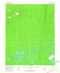
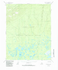
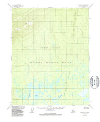
Long Ridge dominates the northern elevation of this interior Alaskan landscape, providing a stark topographical contrast to the marshy lowlands that occupy the southern half of the quadrangle. This mid-century survey illustrates an environment defined by water and drainage, where the West Fork of The Forks meanders through a dense network of unnamed ponds and wetlands. Notable named water bodies such as Echoing Lake, Savayeit Lake, and the distinctly named Tishdogatumina Lake are situated within this complex aquatic system. The map reflects a period before significant human infrastructure reached this portion of the Yukon-Koyukuk region, showing no roads or established trails. Instead, it presents a raw study of Arctic terrain, from the high contours of the ridge to the intricate hydrologic patterns of the muskeg and thaw lakes below.
Find a feature on this map
5 named features on this map. Tap any name to fly to it.
Don’t see what you’re looking for? This feature index may not catch every label — zoom into the map to look around manually.
Map Details
Editions of this 1956 Beaver B-5 Map
4 editions found
Other maps of this area

1951 · Beaver
USGS Topo · 1:250,000

1956 · Beaver A-5
USGS Topo · 1:63,360

1956 · Beaver
USGS Topo · 1:250,000

1956 · Beaver A-4
USGS Topo · 1:63,360

1956 · Beaver B-4
USGS Topo · 1:63,360

1964 · Beaver
USGS Topo · 1:250,000
1970 · Beaver C-6
USGS Topo · 1:63,360

1970 · Beaver B-6
USGS Topo · 1:63,360
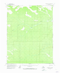
1970 · Beaver C-5
USGS Topo · 1:63,360
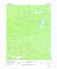
1970 · Beaver A-6
USGS Topo · 1:63,360