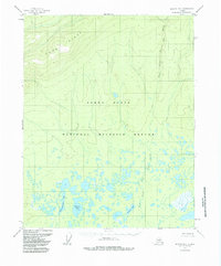
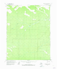
1956 Map of Beaver B-5
USGS Topo · Published 1985About this map
Hodzilana Ridge rises above the expansive landscape of the Yukon Flats in this 1956 survey of the interior. The terrain is defined by a dense network of hydrologic features within the National Wildlife Refuge, where numerous unnamed ponds and sloughs surround significant water bodies like Tishdogatumina Lake and Echoing Lake. The intricate drainage pattern is further characterized by the meandering path of the West Fork of The Forks, which cuts through the southern lowlands. These topographic details, based on 1955 aerial photography, capture the natural state of the wilderness before later revisions, providing a clear record of the area's complex marshlands and minor elevation changes at Savayeit Lake.
Find a feature on this map
7 named features on this map. Tap any name to fly to it.
Don’t see what you’re looking for? This feature index may not catch every label — zoom into the map to look around manually.
Map Details
Editions of this 1956 Beaver B-5 Map
4 editions found
Other maps of this area

1951 · Beaver
USGS Topo · 1:250,000

1956 · Beaver A-5
USGS Topo · 1:63,360

1956 · Beaver B-5
USGS Topo · 1:63,360

1956 · Beaver
USGS Topo · 1:250,000

1956 · Beaver A-4
USGS Topo · 1:63,360

1956 · Beaver B-4
USGS Topo · 1:63,360

1964 · Beaver
USGS Topo · 1:250,000
1970 · Beaver C-6
USGS Topo · 1:63,360

1970 · Beaver B-6
USGS Topo · 1:63,360
1970 · Beaver C-5
USGS Topo · 1:63,360