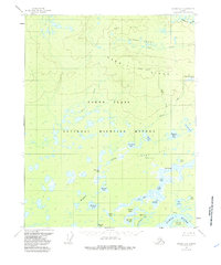
1956 Map of Beaver B-3
USGS Topo · Published 1985About this map
Yukon Flats dominate this landscape north of the Yukon River, where a dense network of lakes and ponds fills the lowland terrain. In the mid-1950s, this area within the National Wildlife Refuge remained largely unsettled, defined instead by its drainage patterns and prominent ridges. To the north, the Owl Hills and Hermit Ridge rise above the basin, providing a stark topographical contrast to the marshy flats below.
Find a feature on this map
37 named features on this map. Tap any name to fly to it.
Don’t see what you’re looking for? This feature index may not catch every label — zoom into the map to look around manually.
Map Details
Editions of this 1956 Beaver B-3 Map
3 editions found
Other maps of this area

1951 · Beaver
USGS Topo · 1:250,000

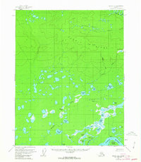
1956 · Beaver B-2
USGS Topo · 1:63,360

1956 · Beaver B-3
USGS Topo · 1:63,360

1956 · Beaver A-3
USGS Topo · 1:63,360
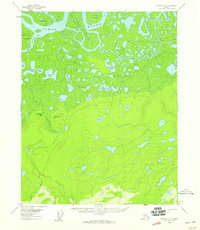
1956 · Beaver A-2
USGS Topo · 1:63,360

1956 · Beaver
USGS Topo · 1:250,000

1956 · Beaver A-4
USGS Topo · 1:63,360

1956 · Beaver B-4
USGS Topo · 1:63,360

1964 · Beaver
USGS Topo · 1:250,000
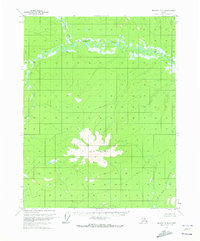
1970 · Beaver C-4
USGS Topo · 1:63,360