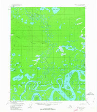
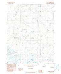
1956 Map of Beaver B-2
USGS Topo · Published 1963About this map
The Hodzana River winds through a dense network of wetlands and oxbow lakes before its confluence with the Yukon River in this mid-century subarctic landscape. The terrain is defined by low-lying fluvial features, including the complex channels of Whirlpool Slough and Joe Guay Slough, which isolate large landmasses like Whirlpool Island and Oscar Island. To the west, the ground rises toward Hermit Ridge, providing a topographical break from the water-heavy flats of the river basin.
Find a feature on this map
39 named features on this map. Tap any name to fly to it.
Don’t see what you’re looking for? This feature index may not catch every label — zoom into the map to look around manually.
Map Details
Editions of this 1956 Beaver B-2 Map
3 editions found
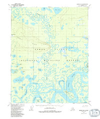
Other maps of this area

1951 · Beaver
USGS Topo · 1:250,000

1956 · Beaver B-2
USGS Topo · 1:63,360

1956 · Beaver B-3
USGS Topo · 1:63,360

1956 · Beaver A-3
USGS Topo · 1:63,360
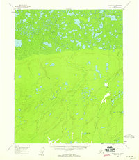
1956 · Beaver A-1
USGS Topo · 1:63,360
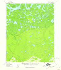
1956 · Beaver A-2
USGS Topo · 1:63,360

1956 · Beaver
USGS Topo · 1:250,000

1956 · Beaver B-1
USGS Topo · 1:63,360

1964 · Beaver
USGS Topo · 1:250,000
1990 · Beaver C-2
USGS Topo · 1:63,360