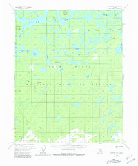
1956 Map of Beaver A-2
USGS Topo · Published 1981About this map
The Yukon River dominates this mid-century survey of the interior Alaskan wilderness, showcasing the intricate web of waterways and islands within the Yukon Flats National Wildlife Refuge. The landscape is defined by the shifting paths of the Yukon Flats, where numerous sloughs like Hodzana Slough and Oscar Island Slough carve through the river's floodplains. Landmarks such as Timber Point and Three Sleep Point provide orientation points along the riverbanks, while islands like Marten Island and Victor Island split the main current.
Find a feature on this map
33 named features on this map. Tap any name to fly to it.
Don’t see what you’re looking for? This feature index may not catch every label — zoom into the map to look around manually.
Map Details
Editions of this 1956 Beaver A-2 Map
3 editions found
Other maps of this area

1945 · Livengood
USGS Topo · 1:250,000

1951 · Livengood
USGS Topo · 1:250,000

1951 · Beaver
USGS Topo · 1:250,000

1951 · Livengood D-3
USGS Topo · 1:63,360

1952 · Livengood D-2
USGS Topo · 1:63,360

1952 · Livengood D-1
USGS Topo · 1:63,360
1954 · Livengood D-2
USGS Topo · 1:63,360
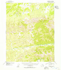
1954 · Livengood D-1
USGS Topo · 1:63,360
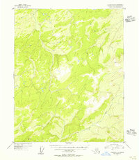
1954 · Livengood D-3
USGS Topo · 1:63,360

1956 · Beaver B-2
USGS Topo · 1:63,360