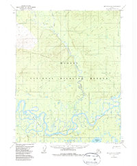
1970 Map of Bettles C-5
USGS Topo · Published 1985About this map
The Koyukuk River dominates the southern landscape of this 1970 Alaskan survey, winding through a complex system of sloughs and bars that define the interior wilderness. North of the river, the Kanuti National Wildlife Refuge encompasses vast wetland and mountain terrain, including the prominent heights of Double Point Mountain. The map records specific points of human passage and habitation in a region largely defined by its natural hydrology, such as Henshaw Cabin and a seasonal Winter Trail that cuts across the northern drainages. This area is characterized by the convergence of significant waterways like Henshaw (Sozhekla) Creek and its associated forks, illustrating the importance of river systems for navigation and survival in the Yukon-Koyukuk region before more permanent road infrastructure was established.
Find a feature on this map
14 named features on this map. Tap any name to fly to it.
Don’t see what you’re looking for? This feature index may not catch every label — zoom into the map to look around manually.
Map Details
Editions of this 1970 Bettles C-5 Map
2 editions found
Other maps of this area

1951 · Bettles
USGS Topo · 1:250,000

1956 · Bettles
USGS Topo · 1:250,000
1970 · Bettles B-4
USGS Topo · 1:63,360

1970 · Bettles D-4
USGS Topo · 1:63,360

1970 · Bettles C-4
USGS Topo · 1:63,360
1970 · Bettles D-6
USGS Topo · 1:63,360
1970 · Bettles B-5
USGS Topo · 1:63,360
1970 · Bettles B-6
USGS Topo · 1:63,360
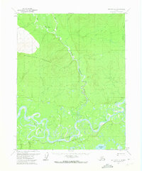
1970 · Bettles C-5
USGS Topo · 1:63,360
1970 · Bettles C-6
USGS Topo · 1:63,360