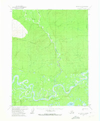
1970 Map of Bettles C-5
USGS Topo · Published 1973About this map
The Koyukuk River meanders across this northern landscape, creating a complex network of oxbows and islands including the prominent Stout Island. In the early 1970s, this region remained largely untouched by permanent development, defined instead by seasonal movement and remote outposts. Evidence of local activity is found at Henshaw Cabin and other scattered cabins along the water's edge. To the north, the terrain rises toward Double Point Mountain, while the winding course of Henshaw (Sozhekla) Creek serves as a primary drainage for the surrounding uplands. A Winter Trail cuts through the basin, marking a seasonal transport route through the wilderness east of Mingkoket Lake and Peavey Creek. The convergence of the West Fork and East Fork further illustrates the intricate hydrology of the Yukon-Koyukuk region.
Find a feature on this map
18 named features on this map. Tap any name to fly to it.
Don’t see what you’re looking for? This feature index may not catch every label — zoom into the map to look around manually.
Map Details
Editions of this 1970 Bettles C-5 Map
2 editions found
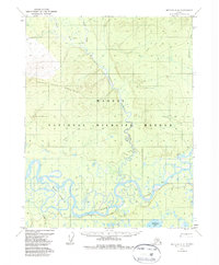
Other maps of this area

1951 · Bettles
USGS Topo · 1:250,000

1956 · Bettles
USGS Topo · 1:250,000
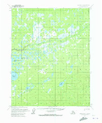
1970 · Bettles B-4
USGS Topo · 1:63,360

1970 · Bettles D-4
USGS Topo · 1:63,360

1970 · Bettles C-4
USGS Topo · 1:63,360
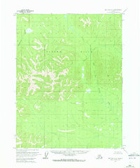
1970 · Bettles D-6
USGS Topo · 1:63,360
1970 · Bettles B-5
USGS Topo · 1:63,360
1970 · Bettles B-6
USGS Topo · 1:63,360
1970 · Bettles C-6
USGS Topo · 1:63,360
1970 · Bettles D-5
USGS Topo · 1:63,360