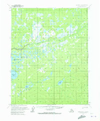
1970 Map of Bettles B-4
USGS Topo · Published 1973About this map
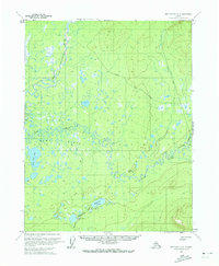
Kanuti Flats dominates this sub-arctic landscape, defined by a complex network of seasonal wetlands and glacial lakes. This 1970 survey documents a transition between the marshy lowlands and the rising elevations to the southeast, where Taclodalten Lake sits beneath the surrounding ridges. The hydrology of the region is intricate, with Chalatna Creek and Kadakina Creek winding through the basin, connecting various water bodies such as Kadakina Lake and the similarly named Konadsin Minnkokwin Lake and Kodosin Minnkokwin Lake. A single Winter Trail provides the only mapped human infrastructure, cutting through the southwestern portion of the quadrangle. This suggests a landscape primarily navigated during the freeze, where traditional routes follow the terrain's natural corridors rather than permanent road networks. The map reflects a period when land lines were predetermined by the Bureau of Land Management but remained largely unsurveyed and unmarked on the ground.
Find a feature on this map
9 named features on this map. Tap any name to fly to it.
Don’t see what you’re looking for? This feature index may not catch every label — zoom into the map to look around manually.
Map Details
Editions of this 1970 Bettles B-4 Map
2 editions found
Other maps of this area

1951 · Bettles
USGS Topo · 1:250,000

1956 · Bettles
USGS Topo · 1:250,000
1970 · Bettles A-3
USGS Topo · 1:63,360
1970 · Bettles A-4
USGS Topo · 1:63,360

1970 · Bettles C-4
USGS Topo · 1:63,360
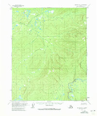
1970 · Bettles B-3
USGS Topo · 1:63,360
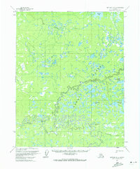
1970 · Bettles B-5
USGS Topo · 1:63,360
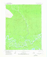
1970 · Bettles C-5
USGS Topo · 1:63,360
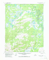
1970 · Bettles A-5
USGS Topo · 1:63,360
1970 · Bettles C-3
USGS Topo · 1:63,360