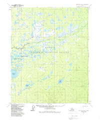
1970 Map of Bettles B-4
USGS Topo · Published 1988About this map
The Kanuti Flats dominate this landscape, forming a complex network of wetlands and small water bodies within the Kanuti National Wildlife Refuge. Surveyed in 1970, the map illustrates an environment defined by the meandering courses of Kanuti Creek and Chalatna Creek. The area is densely packed with named lakes including Konedsun Minnkohwin Lake, Kodosin Minnkohwin Lake, and Taclodalten Lake, reflecting the intricate hydrology of the region.
Find a feature on this map
12 named features on this map. Tap any name to fly to it.
Don’t see what you’re looking for? This feature index may not catch every label — zoom into the map to look around manually.
Map Details
Editions of this 1970 Bettles B-4 Map
2 editions found
Other maps of this area

1951 · Bettles
USGS Topo · 1:250,000

1956 · Bettles
USGS Topo · 1:250,000
1970 · Bettles B-4
USGS Topo · 1:63,360
1970 · Bettles A-3
USGS Topo · 1:63,360
1970 · Bettles A-4
USGS Topo · 1:63,360

1970 · Bettles C-4
USGS Topo · 1:63,360
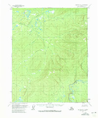
1970 · Bettles B-3
USGS Topo · 1:63,360
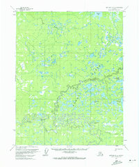
1970 · Bettles B-5
USGS Topo · 1:63,360
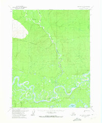
1970 · Bettles C-5
USGS Topo · 1:63,360
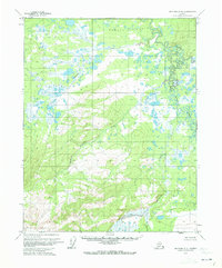
1970 · Bettles A-5
USGS Topo · 1:63,360