
1970 Map of Bettles C-4
USGS Topo · Published 1973About this map
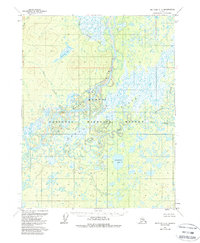
The Koyukuk River dominates this interior Alaska landscape, winding through a complex network of wetlands and seasonal watercourses. By the early 1970s, the terrain south of the main river channel is characterized by an intricate web of oxbows and meanders along the South Fork Koyukuk River. To the east, the sprawling Flats are dotted with numerous unnamed ponds and small lakes, highlighting the low-lying, watery nature of this subarctic region. Evidence of human presence is sparse, centered primarily on a small cluster of Cabins located near the confluence of the river systems. North of the river, the elevation rises slightly, drained by tributaries such as Peavey Creek and Howzerah Creek, which flows from Howzerah Lake. Significant water bodies like Minnkokut Lake and the South Fork Fish Creek further define the drainage patterns of this unpopulated wilderness.
Find a feature on this map
11 named features on this map. Tap any name to fly to it.
Don’t see what you’re looking for? This feature index may not catch every label — zoom into the map to look around manually.
Map Details
Editions of this 1970 Bettles C-4 Map
2 editions found
Other maps of this area

1951 · Bettles
USGS Topo · 1:250,000

1956 · Bettles
USGS Topo · 1:250,000
1970 · Bettles B-4
USGS Topo · 1:63,360

1970 · Bettles D-4
USGS Topo · 1:63,360
1970 · Bettles B-3
USGS Topo · 1:63,360
1970 · Bettles B-5
USGS Topo · 1:63,360
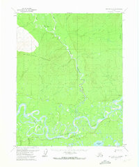
1970 · Bettles C-5
USGS Topo · 1:63,360

1970 · Bettles D-3
USGS Topo · 1:63,360
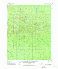
1970 · Bettles D-5
USGS Topo · 1:63,360
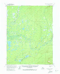
1970 · Bettles C-3
USGS Topo · 1:63,360