
1970 Map of Wiseman A-5
USGS Topo · Published 1973About this map
Heart Mountain stands as a prominent landmark in this 1970 landscape, where the Alatna Hills define the southern terrain. This Arctic interior region is dominated by a complex network of waterways, most notably the Malamute Fork John River which winds through the center of the sheet. The drainage patterns of Jones Creek, Bedrock Creek, and the East Fork Henshaw Creek illustrate the remote wilderness character of the area. A distinctive geological note is found in the south, where Pingos—ice-cored mounds common in permafrost regions—are specifically identified. Photogrammetrically mapped from aerial photography, the sheet captures the land before any established roads or trails were recorded, reflecting an era of untouched wilderness where names like Midas Creek and Missouri Creek mark the only human imprint on the vast topography.
Find a feature on this map
9 named features on this map. Tap any name to fly to it.
Don’t see what you’re looking for? This feature index may not catch every label — zoom into the map to look around manually.
Map Details
Editions of this 1970 Wiseman A-5 Map
This is the sole edition of this map. No revisions or reprints were ever made.
Other maps of this area

1951 · Bettles
USGS Topo · 1:250,000

1951 · Wiseman
USGS Topo · 1:250,000

1956 · Bettles
USGS Topo · 1:250,000

1956 · Wiseman
USGS Topo · 1:250,000

1964 · Wiseman
USGS Topo · 1:250,000

1970 · Bettles D-4
USGS Topo · 1:63,360
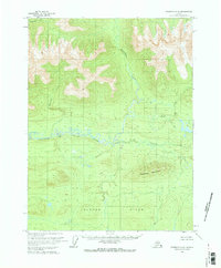
1970 · Wiseman A-6
USGS Topo · 1:63,360

1970 · Wiseman A-4
USGS Topo · 1:63,360
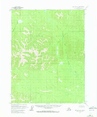
1970 · Bettles D-6
USGS Topo · 1:63,360
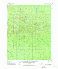
1970 · Bettles D-5
USGS Topo · 1:63,360