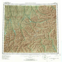
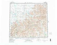
1956 Map of Philip Smith Mountains
USGS Topo · Published 1967About this map
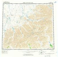
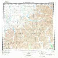
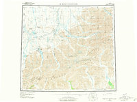
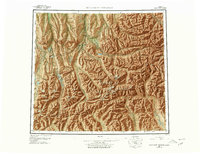
The Philip Smith Mountains dominate this high-latitude survey, showing the central Brooks Range before the development of the Dalton Highway or the trans-Alaska pipeline. This map records a landscape defined entirely by its complex hydrological network and high-altitude topography, where the Continental Divide separates the northward-flowing waters of the Sagavanirktok River and Itkillik River from the southern drainages of the North Fork Chandalar River. Named peaks like Itigaknit Mountain and Imnavait Mountain stand as significant landmarks in an area then marked as having no roads or trails. Notable water bodies such as Galbraith Lake and Elusive Lake are situated amongst the glaciated valleys of the Endicott Mountains, providing crucial reference points for early aerial photogrammetric mapping in the Yukon-Koyukuk region.
Find a feature on this map
36 named features on this map. Tap any name to fly to it.
Don’t see what you’re looking for? This feature index may not catch every label — zoom into the map to look around manually.
Map Details
Editions of this 1956 Philip Smith Mountains Map
10 editions found

Other maps of this area

1951 · Sagavanirktok D-5
USGS Topo · 1:250,000

1951 · Chandler Lake
USGS Topo · 1:250,000

1951 · Chandalar
USGS Topo · 1:250,000

1951 · Christian
USGS Topo · 1:250,000

1951 · Brooks
USGS Topo · 1:250,000

1951 · Arctic
USGS Topo · 1:250,000

1951 · Wiseman
USGS Topo · 1:250,000

1951 · Mt. Michelson
USGS Topo · 1:250,000

1952 · Umiat
USGS Topo · 1:250,000

1956 · Arctic
USGS Topo · 1:250,000