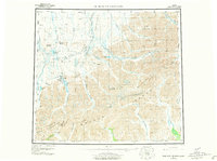
1956 Map of Philip Smith Mountains
USGS Topo · Published 1977About this map
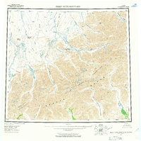
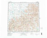
The northern reaches of the Brooks Range and the Continental Divide define this 1956 landscape, reflecting a remote wilderness before the development of modern infrastructure. This region, centered on the Philip Smith Mountains, was documented through photogrammetric methods from 1955 aerial photography, capturing the intricate drainage systems of the Sagavanirktok River and Itkillik River. Settlement is extremely sparse, limited to the Oksrukuyik site and a solitary Camp along the river banks. This survey records the land as it existed prior to the construction of the Dalton Highway, highlighting natural corridors such as Atigun Pass and the Atigun Gorge. The map serves as a vital record for understanding the original topography of the Endicott Mountains and the vast Arctic tundra basins that extend toward the North Slope.
Find a feature on this map
2 named features on this map. Tap any name to fly to it.
Don’t see what you’re looking for? This feature index may not catch every label — zoom into the map to look around manually.
Map Details
Editions of this 1956 Philip Smith Mountains Map
10 editions found

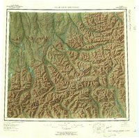
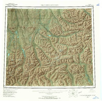
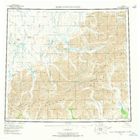
Other maps of this area

1951 · Sagavanirktok D-5
USGS Topo · 1:250,000

1951 · Chandler Lake
USGS Topo · 1:250,000

1951 · Chandalar
USGS Topo · 1:250,000

1951 · Christian
USGS Topo · 1:250,000

1951 · Brooks
USGS Topo · 1:250,000

1951 · Arctic
USGS Topo · 1:250,000

1951 · Wiseman
USGS Topo · 1:250,000

1951 · Mt. Michelson
USGS Topo · 1:250,000

1952 · Umiat
USGS Topo · 1:250,000

1956 · Arctic
USGS Topo · 1:250,000