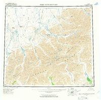
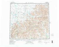
1956 Map of Philip Smith Mountains
USGS Topo · Published 1965About this map
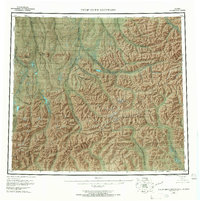
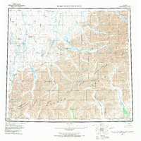
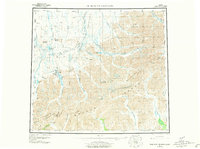
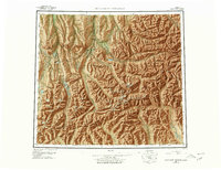
The Philip Smith Mountains and the Brooks Range dominate this mid-century survey of the Arctic wilderness, where the continental divide separates waters flowing toward the Arctic Ocean from those feeding the Yukon River system. The drainage patterns are defined by the northward-flowing Sagavanirktok River and Kuparuk River, while the southern slopes descend into the Middle Fork Chandalar River and the Endicott Mountains. Significant landmarks include the remote settlement of Oksrukuyik and several large glacial bodies of water such as Elusive Lake, Galbraith Lake, and Itkillik Lake. This mapping period captures the region before the development of the Dalton Highway or the trans-Alaska pipeline, showing a landscape defined entirely by its complex topography and river networks like the Atigun River and Wind River.
Find a feature on this map
32 named features on this map. Tap any name to fly to it.
Don’t see what you’re looking for? This feature index may not catch every label — zoom into the map to look around manually.
Map Details
Editions of this 1956 Philip Smith Mountains Map
10 editions found

Other maps of this area

1951 · Sagavanirktok D-5
USGS Topo · 1:250,000

1951 · Chandler Lake
USGS Topo · 1:250,000

1951 · Chandalar
USGS Topo · 1:250,000

1951 · Christian
USGS Topo · 1:250,000

1951 · Brooks
USGS Topo · 1:250,000

1951 · Arctic
USGS Topo · 1:250,000

1951 · Wiseman
USGS Topo · 1:250,000

1951 · Mt. Michelson
USGS Topo · 1:250,000

1952 · Umiat
USGS Topo · 1:250,000

1956 · Arctic
USGS Topo · 1:250,000