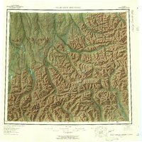
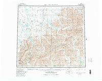
1956 Map of Philip Smith Mountains
USGS Topo · Published 1959About this map
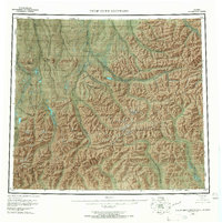
The Brooks Range dominates this mid-century survey, specifically focusing on the intersection of the Endicott Mountains and the namesake Philip Smith Mountains. This interior Alaskan landscape is defined by its complex drainage networks, where the Sagavanirktok River and Ivishak River flow northward toward the Arctic coastal plain, while the Middle Fork Chandalar River and North Fork Chandalar River drain southward into the Yukon River basin. The map illustrates a wilderness before modern infrastructure, marked instead by prominent landmarks like Imnavait Mountain and several high-altitude lakes, including Galbraith Lake and Itkillik Lake. Significant surveying stations, recorded as VABM points such as VABM 2171 Jud, indicate the scientific efforts to chart this territory via photogrammetric methods in the 1950s. The absence of roads or established settlements emphasizes the remote character of the central Brooks Range during this period of geological exploration.
Find a feature on this map
31 named features on this map. Tap any name to fly to it.
Don’t see what you’re looking for? This feature index may not catch every label — zoom into the map to look around manually.
Map Details
Editions of this 1956 Philip Smith Mountains Map
10 editions found

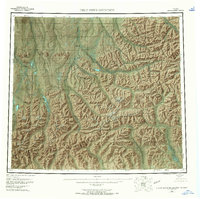
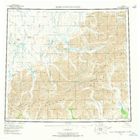
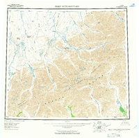
Other maps of this area

1951 · Sagavanirktok D-5
USGS Topo · 1:250,000

1951 · Chandler Lake
USGS Topo · 1:250,000

1951 · Chandalar
USGS Topo · 1:250,000

1951 · Christian
USGS Topo · 1:250,000

1951 · Brooks
USGS Topo · 1:250,000

1951 · Arctic
USGS Topo · 1:250,000

1951 · Wiseman
USGS Topo · 1:250,000

1951 · Mt. Michelson
USGS Topo · 1:250,000

1952 · Umiat
USGS Topo · 1:250,000

1956 · Arctic
USGS Topo · 1:250,000