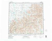
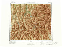
1956 Map of Philip Smith Mountains
USGS Topo · Published 1983About this map
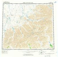
The Philip Smith Mountains dominate this 1956 survey of the northern Brooks Range, which includes updates through the early 1980s. This specific region captures a pivotal moment in Alaskan infrastructure, showing the Trans-Alaska Pipeline and infrastructure like Pump Station 3 and Pump Station 4 following the Sagavanirktok River corridor. The geography is defined by the Continental Divide, which separates waters flowing north to the Arctic Ocean from the headwaters of the Middle Fork Chandalar River. This sheet documents the establishment of major conservation boundaries, including the Arctic National Wildlife Refuge and Gates of the Arctic National Park. Remote outpost activity is evidenced by several remote airstrips, such as the Toolik Camp Landing Strip and Galbraith Lake Landing Strip, marking the intersection of scientific research, resource extraction, and wilderness preservation.
Find a feature on this map
51 named features on this map. Tap any name to fly to it.
Don’t see what you’re looking for? This feature index may not catch every label — zoom into the map to look around manually.
Map Details
Editions of this 1956 Philip Smith Mountains Map
10 editions found

Other maps of this area

1951 · Sagavanirktok D-5
USGS Topo · 1:250,000

1951 · Chandler Lake
USGS Topo · 1:250,000

1951 · Chandalar
USGS Topo · 1:250,000

1951 · Christian
USGS Topo · 1:250,000

1951 · Brooks
USGS Topo · 1:250,000

1951 · Arctic
USGS Topo · 1:250,000

1951 · Wiseman
USGS Topo · 1:250,000

1951 · Mt. Michelson
USGS Topo · 1:250,000

1952 · Umiat
USGS Topo · 1:250,000

1956 · Arctic
USGS Topo · 1:250,000