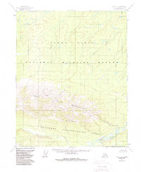
1952 Map of Circle D-4
USGS Topo · Published 1988About this map
The West Crazy Mountains dominate the southern half of this landscape, rising sharply from the alluvial lowlands to the north. Surveyed in the early 1950s, the map reveals a remote subarctic wilderness defined by the transition from high ridgelines to the broad Yukon Flats. The drainage pattern is the most prominent evidence of the terrain's character, with North Fork Preacher Creek and the main stem of Preacher Creek winding through the mountain valleys before reaching the expansive basin. Included within the boundaries of the Yukon Flats National Wildlife Refuge and the Steese National Conservation Area, this sheet shows an area entirely devoid of roads or permanent settlements at the time of the field annotation. The meandering course of Discovery Creek further illustrates the complex hydrology of the northern flats where the mountains subside.
Find a feature on this map
7 named features on this map. Tap any name to fly to it.
Don’t see what you’re looking for? This feature index may not catch every label — zoom into the map to look around manually.
Map Details
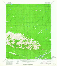
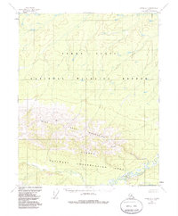
Editions of this 1952 Circle D-4 Map
4 editions found
Other maps of this area

1951 · Fort Yukon
USGS Topo · 1:250,000

1951 · Circle
USGS Topo · 1:250,000

1952 · Circle D-4
USGS Topo · 1:63,360

1952 · Circle D-3
USGS Topo · 1:63,360

1952 · Circle C-4
USGS Topo · 1:63,360

1952 · Circle D-5
USGS Topo · 1:63,360

1952 · Circle C-5
USGS Topo · 1:63,360

1954 · Circle C-5
USGS Topo · 1:63,360

1954 · Circle D-5
USGS Topo · 1:63,360

1955 · Circle C-3
USGS Topo · 1:63,360