
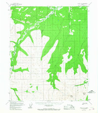
1952 Map of Circle C-4
USGS Topo · Published 1959About this map
Porcupine Dome serves as the prominent high point in this 1950s study of the Yukon-Koyukuk region. The landscape is defined by a dense network of watercourses, including the winding path of Preacher Creek and its tributary, North Fork Preacher Creek. Evidence of the region's mineral history is visible through a Placer Mine located along Porcupine Creek in the southeastern quadrant. This survey reflects a time when aerial photogrammetry was beginning to map the interior in greater detail, documenting small drainage features like Ninetyeight Pup and Loper Creek. The concentration of named creeks such as Willow Creek, Dome Creek, and McKinley Creek suggests the importance of these waterways for navigation and prospecting in a period before extensive road development reached this part of the territory.
Find a feature on this map
10 named features on this map. Tap any name to fly to it.
Don’t see what you’re looking for? This feature index may not catch every label — zoom into the map to look around manually.
Map Details
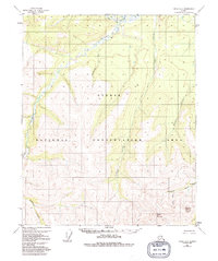
Editions of this 1952 Circle C-4 Map
3 editions found
Other maps of this area

1951 · Circle
USGS Topo · 1:250,000

1952 · Circle D-4
USGS Topo · 1:63,360

1952 · Circle D-3
USGS Topo · 1:63,360

1952 · Circle B-4
USGS Topo · 1:63,360

1952 · Circle D-5
USGS Topo · 1:63,360

1952 · Circle C-5
USGS Topo · 1:63,360

1954 · Circle C-5
USGS Topo · 1:63,360

1954 · Circle D-5
USGS Topo · 1:63,360

1954 · Circle B-5
USGS Topo · 1:63,360

1955 · Circle B-3
USGS Topo · 1:63,360