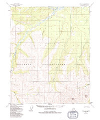
1952 Map of Circle C-4
USGS Topo · Published 1992About this map
Steese National Conservation Area encompasses much of this interior Alaska landscape, characterized by high ridges and a dense network of creek drainages. The topography is anchored by Porcupine Dome and Pinnell Mountain in the south, while the northern sections are defined by the winding course of Preacher Creek and its many tributaries, including North Fork and Loper Creek.
Find a feature on this map
13 named features on this map. Tap any name to fly to it.
Don’t see what you’re looking for? This feature index may not catch every label — zoom into the map to look around manually.
Map Details
Editions of this 1952 Circle C-4 Map
3 editions found
Other maps of this area

1951 · Circle
USGS Topo · 1:250,000

1952 · Circle D-4
USGS Topo · 1:63,360

1952 · Circle D-3
USGS Topo · 1:63,360

1952 · Circle B-4
USGS Topo · 1:63,360

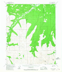
1952 · Circle C-4
USGS Topo · 1:63,360

1952 · Circle D-5
USGS Topo · 1:63,360

1952 · Circle C-5
USGS Topo · 1:63,360

1954 · Circle C-5
USGS Topo · 1:63,360

1954 · Circle D-5
USGS Topo · 1:63,360

1954 · Circle B-5
USGS Topo · 1:63,360