
1952 Map of Circle D-4
USGS Topo · Published 1959About this map
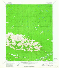
The White Mountains dominate this mid-century survey, forming a stark topographical spine across the southern half of the landscape. This area of Alaska, mapped through 1951 aerial photography and field-annotated shortly thereafter, reveals an intricate network of drainage basins. The North Fork Preacher Creek and the main channel of Preacher Creek wind through the lower elevations, while Discovery Creek cuts through the northern reaches. Survey points like VABM 3468 Marr and VABM 3538 Wolf mark the highest elevations in the range. The map illustrates a complete absence of roads or established trails at this time, highlighting the isolation of these interior highlands during the 1950s.
Find a feature on this map
7 named features on this map. Tap any name to fly to it.
Don’t see what you’re looking for? This feature index may not catch every label — zoom into the map to look around manually.
Map Details
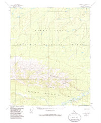
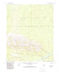
Editions of this 1952 Circle D-4 Map
4 editions found
Other maps of this area

1951 · Fort Yukon
USGS Topo · 1:250,000

1951 · Circle
USGS Topo · 1:250,000

1952 · Circle D-3
USGS Topo · 1:63,360

1952 · Circle C-4
USGS Topo · 1:63,360

1952 · Circle D-5
USGS Topo · 1:63,360

1952 · Circle C-5
USGS Topo · 1:63,360

1954 · Circle C-5
USGS Topo · 1:63,360

1954 · Circle D-5
USGS Topo · 1:63,360

1955 · Circle C-3
USGS Topo · 1:63,360

1955 · Circle
USGS Topo · 1:250,000