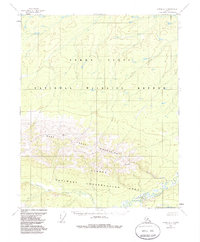
1952 Map of Circle D-4
USGS Topo · Published 1985About this map
West Crazy Mountains dominate the southern half of this 1950s interior landscape, transitioning sharply into the low-lying Yukon Flats to the north. This survey, compiled from 1951 aerial photography, delineates the dramatic topography of the Steese area where high ridges give way to a complex network of drainages. The National Wildlife Refuge and National Conservation Area boundaries underscore the region's importance as a preserved wilderness. Water flows from the highlands through the North Fork Preacher Creek and the main channel of Preacher Creek in the southeast, while Discovery Creek meanders through the northern flats. The absence of roads or established settlements on this sheet reflects the deep isolation of the Alaskan interior during the mid-twentieth century, as mapping efforts shifted from ground-based surveys to photogrammetric methods.
Find a feature on this map
8 named features on this map. Tap any name to fly to it.
Don’t see what you’re looking for? This feature index may not catch every label — zoom into the map to look around manually.
Map Details
Editions of this 1952 Circle D-4 Map
4 editions found
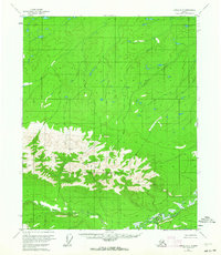
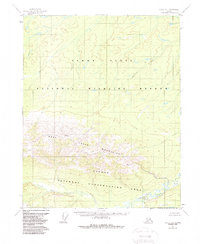
Other maps of this area

1951 · Fort Yukon
USGS Topo · 1:250,000

1951 · Circle
USGS Topo · 1:250,000

1952 · Circle D-4
USGS Topo · 1:63,360

1952 · Circle D-3
USGS Topo · 1:63,360

1952 · Circle C-4
USGS Topo · 1:63,360

1952 · Circle D-5
USGS Topo · 1:63,360

1952 · Circle C-5
USGS Topo · 1:63,360

1954 · Circle C-5
USGS Topo · 1:63,360

1954 · Circle D-5
USGS Topo · 1:63,360

1955 · Circle C-3
USGS Topo · 1:63,360