
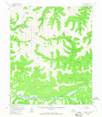
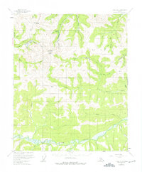
1955 Map of Circle B-3
USGS Topo · Published 1959About this map
Steese Highway cuts through the high country of the Yukon-Koyukuk region, providing a lifeline to the mining operations that defined this Alaskan interior landscape in the mid-1950s. The topographic detail highlights a network of gold-bearing drainages, where multiple instances of a Placer Mine appear alongside remote outposts like Berry Camp. Significant elevations at Mastodon Dome and Eagle Summit overlook the complex watershed feeding into Birch Creek at the map's southern edge. The presence of a Tractor Trail winding through the uplands suggests the difficult logistics of transporting heavy equipment to remote claims on Mastodon Fork and Deadwood Creek. Localized place names like Maiden Pup and Bender Pup reflect the specific nomenclature of mining claims and small tributaries used by prospectors and geologists during this era of resource extraction.
Find a feature on this map
38 named features on this map. Tap any name to fly to it.
Don’t see what you’re looking for? This feature index may not catch every label — zoom into the map to look around manually.
Map Details
Editions of this 1955 Circle B-3 Map
3 editions found
Other maps of this area

1951 · Circle
USGS Topo · 1:250,000

1952 · Circle A-4
USGS Topo · 1:63,360

1952 · Circle B-4
USGS Topo · 1:63,360

1952 · Circle C-4
USGS Topo · 1:63,360

1955 · Circle C-3
USGS Topo · 1:63,360

1955 · Circle A-2
USGS Topo · 1:63,360

1955 · Circle C-2
USGS Topo · 1:63,360

1955 · Circle A-3
USGS Topo · 1:63,360

1955 · Circle B-2
USGS Topo · 1:63,360

1955 · Circle
USGS Topo · 1:250,000