
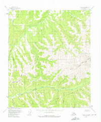
1955 Map of Circle A-3
USGS Topo · Published 1959About this map
The East Fork Chena River provides the primary drainage for this interior Alaskan wilderness, as documented during the mid-1950s. The landscape is defined by its deep creek valleys and high peaks, where aviation and mining represent the few traces of human activity. A Placer Mine and associated Cabins located near Palmer Creek and Shamrock Creek suggest the small-scale resource extraction typical of the region's interior gold-bearing streams.
Find a feature on this map
25 named features on this map. Tap any name to fly to it.
Don’t see what you’re looking for? This feature index may not catch every label — zoom into the map to look around manually.
Map Details
Editions of this 1955 Circle A-3 Map
2 editions found
Other maps of this area

1950 · Big Delta
USGS Topo · 1:250,000

1951 · Big Delta
USGS Topo · 1:250,000

1951 · Circle
USGS Topo · 1:250,000

1952 · Circle A-4
USGS Topo · 1:63,360

1952 · Circle B-4
USGS Topo · 1:63,360

1955 · Circle B-3
USGS Topo · 1:63,360

1955 · Circle A-2
USGS Topo · 1:63,360

1955 · Circle B-2
USGS Topo · 1:63,360

1955 · Circle
USGS Topo · 1:250,000

1958 · Big Delta D-4
USGS Topo · 1:63,360