
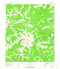
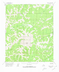
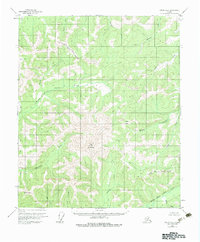
1952 Map of Circle A-4
USGS Topo · Published 1959About this map
Far Mountain dominates the central landscape of this interior Alaskan wilderness, rising above a network of drainages that form the headwaters of the Chena River system. During the early 1950s, when these aerial photographs were first captured, the region remained largely inaccessible by road, defined instead by its hydrological patterns. The North Fork Chena River and East Fork Chena River carve deep valleys through the uplands, supported by numerous tributaries such as Monument Creek and Rosebud Creek. Evidence of high-altitude surveying is marked by triangulation stations like Vabm 4694 and VABM 3327 Monument, which served as critical control points for the Geological Survey in this era. For those interested in the remote geography of the Fairbanks North Star region, the map documents a pristine state of the land before significant modern encroachment, highlighting natural corridors such as Jones Pass.
Find a feature on this map
17 named features on this map. Tap any name to fly to it.
Don’t see what you’re looking for? This feature index may not catch every label — zoom into the map to look around manually.
Map Details
Editions of this 1952 Circle A-4 Map
4 editions found
Other maps of this area

1950 · Big Delta
USGS Topo · 1:250,000

1951 · Big Delta
USGS Topo · 1:250,000

1951 · Circle
USGS Topo · 1:250,000

1951 · Circle A-5
USGS Topo · 1:63,360

1952 · Circle B-4
USGS Topo · 1:63,360

1952 · Circle A-5
USGS Topo · 1:63,360

1954 · Circle A-5
USGS Topo · 1:63,360

1954 · Circle B-5
USGS Topo · 1:63,360

1955 · Circle B-3
USGS Topo · 1:63,360

1955 · Circle A-3
USGS Topo · 1:63,360