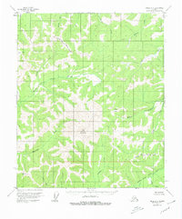
1952 Map of Circle A-4
USGS Topo · Published 1980About this map
The North Fork Chena River and Middle Fork Chena River dominate this interior landscape within the Fairbanks North Star Borough Boundary. Surveyed in the early 1950s, the terrain is defined by its drainage basins and high elevations, most notably the peak at Far Mountain. The map illustrates a complex network of waterways, including Rosebud Creek, Munson Creek, and Sullivan Creek, which flow through deep valleys between unnamed ridges.
Find a feature on this map
16 named features on this map. Tap any name to fly to it.
Don’t see what you’re looking for? This feature index may not catch every label — zoom into the map to look around manually.
Map Details
Editions of this 1952 Circle A-4 Map
4 editions found
Other maps of this area

1950 · Big Delta
USGS Topo · 1:250,000

1951 · Big Delta
USGS Topo · 1:250,000

1951 · Circle
USGS Topo · 1:250,000

1951 · Circle A-5
USGS Topo · 1:63,360

1952 · Circle A-4
USGS Topo · 1:63,360

1952 · Circle B-4
USGS Topo · 1:63,360

1952 · Circle A-5
USGS Topo · 1:63,360

1954 · Circle A-5
USGS Topo · 1:63,360

1954 · Circle B-5
USGS Topo · 1:63,360

1955 · Circle B-3
USGS Topo · 1:63,360