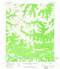
1955 Map of Circle B-3
USGS Topo · Published 1965About this map
Mastodon Dome serves as the topographic anchor for this remote section of the Yukon-Koyukuk region, where 1950s mining activity is etched into the high country. The Steese Highway cuts across the northwest corner, providing the primary access through Eagle Summit. Below these heights, numerous Placer Mine operations are noted along the drainages of Independence Creek and Mastodon Creek, indicating a landscape shaped by gold exploration.
Find a feature on this map
44 named features on this map. Tap any name to fly to it.
Don’t see what you’re looking for? This feature index may not catch every label — zoom into the map to look around manually.
Map Details
Editions of this 1955 Circle B-3 Map
3 editions found
Other maps of this area

1951 · Circle
USGS Topo · 1:250,000

1952 · Circle A-4
USGS Topo · 1:63,360

1952 · Circle B-4
USGS Topo · 1:63,360

1952 · Circle C-4
USGS Topo · 1:63,360

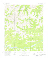
1955 · Circle B-3
USGS Topo · 1:63,360

1955 · Circle C-3
USGS Topo · 1:63,360

1955 · Circle A-2
USGS Topo · 1:63,360

1955 · Circle C-2
USGS Topo · 1:63,360

1955 · Circle A-3
USGS Topo · 1:63,360

1955 · Circle B-2
USGS Topo · 1:63,360