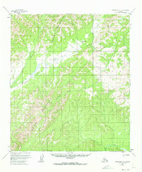
1954 Map of Norton Bay A-1
USGS Topo · Published 1973About this map
The Kaltag Mountains dominate this 1950s interior landscape, serving as a significant geographical barrier between the Norton Sound coast and the Yukon River drainage. A vital overland link is established by the Kaltag Portage, a historic route used for winter travel and trade that cuts through the mountains to connect the Unalakleet River watershed with the interior. The map illustrates a network of seasonal transportation, featuring the Winter Trail and the isolated Twentytwo Mile Cabin, which provided essential shelter for travelers on these remote paths. Drainage systems are clearly defined by the winding paths of the Rodo River and Stink Creek, showing the natural hydrology that dictated movement across this subarctic terrain before modern infrastructure.
Find a feature on this map
7 named features on this map. Tap any name to fly to it.
Don’t see what you’re looking for? This feature index may not catch every label — zoom into the map to look around manually.
Map Details
Editions of this 1954 Norton Bay A-1 Map
2 editions found
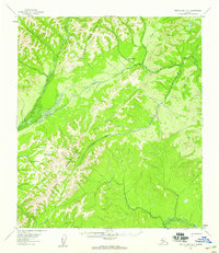
Other maps of this area

1945 · Nulato
USGS Topo · 1:250,000

1948 · Norton Bay
USGS Topo · 1:250,000

1951 · Ophir
USGS Topo · 1:250,000

1951 · Nulato
USGS Topo · 1:250,000

1951 · Unalakleet
USGS Topo · 1:250,000

1951 · Norton Bay
USGS Topo · 1:250,000

1952 · Nulato B-6
USGS Topo · 1:63,360

1952 · Norton Bay B-1
USGS Topo · 1:63,360

1952 · Nulato
USGS Topo · 1:250,000

1952 · Nulato A-6
USGS Topo · 1:63,360