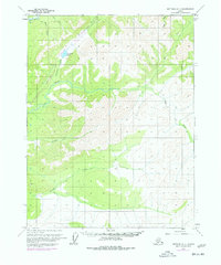
1970 Map of Bettles D-1
USGS Topo · Published 1977About this map
The Trans-Alaska Pipeline cuts a distinct path through this interior Alaskan wilderness during its 1970s construction phase, marked on this sheet as being under construction. The landscape is defined by the complex drainage systems of the S Fk Koyukuk R and the Jim River, which wind through the terrain alongside numerous tributaries. Notable water features include the isolated Grayling Lake and the long courses of Prospect Creek and Douglas Creek. This survey captures a pivotal moment in the development of the Alaskan North Slope infrastructure, where industrial engineering began to intersect with the traditional hydrology of the Bear Creek and Davis Creek basins. The map provides a detailed view of the topographical contours and stream networks before the full completion of the pipeline corridor.
Find a feature on this map
11 named features on this map. Tap any name to fly to it.
Don’t see what you’re looking for? This feature index may not catch every label — zoom into the map to look around manually.
Map Details
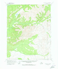
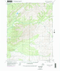
Editions of this 1970 Bettles D-1 Map
3 editions found
Other maps of this area

1951 · Bettles
USGS Topo · 1:250,000

1951 · Chandalar
USGS Topo · 1:250,000

1951 · Beaver
USGS Topo · 1:250,000

1951 · Wiseman
USGS Topo · 1:250,000

1956 · Chandalar
USGS Topo · 1:250,000

1956 · Bettles
USGS Topo · 1:250,000

1956 · Wiseman
USGS Topo · 1:250,000

1956 · Beaver
USGS Topo · 1:250,000

1964 · Wiseman
USGS Topo · 1:250,000

1964 · Chandalar
USGS Topo · 1:250,000