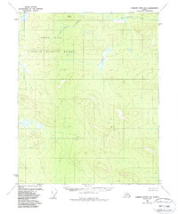
1956 Map of Charley River D-4
USGS Topo · Published 1987About this map
Yukon Flats characterizes this interior Alaskan landscape, a vast area of wetlands and low-lying terrain within what was designated as a National Wildlife Refuge. The map, based on aerial photography from the mid-1950s, reveals a complex network of marshes and unnamed water bodies that define the region's drainage patterns. Elevation rises toward the northeast where Bear Mountain stands as a prominent topographical landmark. Flowing from these higher elevations, Bear Mountain Creek traverses the northern portion of the quadrangle. This survey serves as a primary record of the untouched wilderness in the Charley River area before more modern environmental classifications were formalized, illustrating a landscape defined almost entirely by its natural hydrology and relief rather than human infrastructure.
Find a feature on this map
4 named features on this map. Tap any name to fly to it.
Don’t see what you’re looking for? This feature index may not catch every label — zoom into the map to look around manually.
Map Details
Editions of this 1956 Charley River D-4 Map
2 editions found
Other maps of this area

1951 · Charley River
USGS Topo · 1:250,000

1951 · Black River
USGS Topo · 1:250,000

1956 · Black River A-4
USGS Topo · 1:63,360

1956 · Black River A-3
USGS Topo · 1:63,360
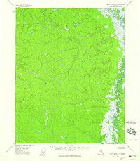
1956 · Black River A-5
USGS Topo · 1:63,360
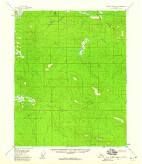
1956 · Charley River D-4
USGS Topo · 1:63,360
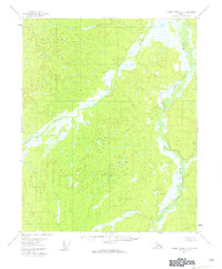
1956 · Charley River D-5
USGS Topo · 1:63,360

1956 · Charley River C-5
USGS Topo · 1:63,360

1956 · Charley River D-3
USGS Topo · 1:63,360

1956 · Black River
USGS Topo · 1:250,000