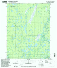
1955 Map of Fort Yukon D-4
USGS Topo · Published 2000About this map
Veh-Tenjerlow Lakes dominate the northern landscape of this interior Alaskan wilderness, part of a complex wetland system within the Yukon Flats National Wildlife Refuge. The terrain is defined by a dense network of meandering waterways and seasonal drainage, where Marten Creek and Kocacho Creek thread through the lowlands between the Chandalar River and the Christian River. Evidence of human presence is sparse but specific, marked by a Sled Trail and isolated Cabins that indicate seasonal travel and subsistence patterns in the mid-20th century. The intricate placement of Twentymile Lake and the Tsukon terrain area highlights the challenging, water-logged geography that has historically dictated movement and settlement in this corner of the Yukon-Koyukuk region.
Find a feature on this map
11 named features on this map. Tap any name to fly to it.
Don’t see what you’re looking for? This feature index may not catch every label — zoom into the map to look around manually.
Map Details
Editions of this 1955 Fort Yukon D-4 Map
3 editions found
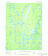
Other maps of this area

1951 · Fort Yukon
USGS Topo · 1:250,000

1951 · Christian
USGS Topo · 1:250,000

1952 · Fort Yukon C-3
USGS Topo · 1:63,360

1952 · Fort Yukon C-4
USGS Topo · 1:63,360

1955 · Fort Yukon D-3
USGS Topo · 1:63,360

1955 · Fort Yukon D-4
USGS Topo · 1:63,360

1955 · Fort Yukon C-3
USGS Topo · 1:63,360

1955 · Fort Yukon D-5
USGS Topo · 1:63,360

1955 · Fort Yukon C-5
USGS Topo · 1:63,360

1956 · Fort Yukon C-5
USGS Topo · 1:63,360