
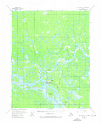
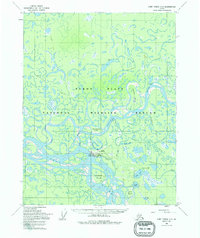
1955 Map of Fort Yukon C-3
USGS Topo · Published 1963About this map
Fort Yukon serves as the focal point of this mid-century survey, situated at the critical confluence where the Porcupine River joins the mighty Yukon River. The settlement is supported by infrastructure like Williams Field, while the surrounding terrain is defined by a complex web of waterways including Nuntragut Slough and Eightmile Slough. The landscape is dominated by large river features like Homebrew Island and Rodman Island, which shift and change with the seasonal flow.
Find a feature on this map
24 named features on this map. Tap any name to fly to it.
Don’t see what you’re looking for? This feature index may not catch every label — zoom into the map to look around manually.
Map Details
Editions of this 1955 Fort Yukon C-3 Map
3 editions found
Other maps of this area

1951 · Fort Yukon
USGS Topo · 1:250,000

1952 · Fort Yukon C-2
USGS Topo · 1:63,360

1952 · Fort Yukon C-3
USGS Topo · 1:63,360

1952 · Fort Yukon C-4
USGS Topo · 1:63,360

1955 · Fort Yukon D-2
USGS Topo · 1:63,360

1955 · Fort Yukon D-3
USGS Topo · 1:63,360

1955 · Fort Yukon D-4
USGS Topo · 1:63,360

1956 · Fort Yukon B-4
USGS Topo · 1:63,360

1956 · Fort Yukon B-3
USGS Topo · 1:63,360

1956 · Fort Yukon B-2
USGS Topo · 1:63,360