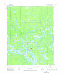
1955 Map of Fort Yukon C-3
USGS Topo · Published 1975About this map
The confluence of the Porcupine River and the Yukon River defines this landscape, where a complex network of sloughs and islands creates a shifting riparian environment. At the heart of this activity is Fort Yukon, appearing here in the mid-1950s with its Fort Yukon Municipal Airport and Seaplane Base tucked beside Hospital Lake. The presence of these aviation hubs underscores the area's role as a critical transportation node in the Interior, where river and air routes were the primary links to the outside world.
Find a feature on this map
29 named features on this map. Tap any name to fly to it.
Don’t see what you’re looking for? This feature index may not catch every label — zoom into the map to look around manually.
Map Details
Editions of this 1955 Fort Yukon C-3 Map
3 editions found
Other maps of this area

1951 · Fort Yukon
USGS Topo · 1:250,000

1952 · Fort Yukon C-2
USGS Topo · 1:63,360

1952 · Fort Yukon C-3
USGS Topo · 1:63,360

1952 · Fort Yukon C-4
USGS Topo · 1:63,360

1955 · Fort Yukon D-2
USGS Topo · 1:63,360

1955 · Fort Yukon D-3
USGS Topo · 1:63,360

1955 · Fort Yukon D-4
USGS Topo · 1:63,360

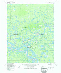
1955 · Fort Yukon C-3
USGS Topo · 1:63,360

1956 · Fort Yukon B-4
USGS Topo · 1:63,360

1956 · Fort Yukon B-3
USGS Topo · 1:63,360