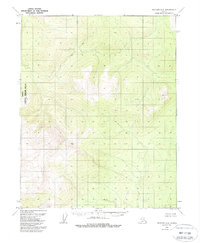
1970 Map of Bettles A-2
USGS Topo · Published 1988About this map
The Kanuti National Wildlife Refuge dominates the western portion of this interior Alaskan landscape, which was photogrammetrically mapped in 1970 and later updated following the Alaska National Interest Lands Conservation Act. The terrain is characterized by complex contouring and a notable high point at Curky, situated in the eastern reaches. This survey is particularly striking for what it lacks: no roads, trails, or permanent human settlements are indicated across the entire quadrangle. Instead, the map documents a raw wilderness of unnamed hills and basins during the late twentieth century, capturing the area as it was managed by the Bureau of Land Management and the Geological Survey before modern revisions.
Find a feature on this map
2 named features on this map. Tap any name to fly to it.
Don’t see what you’re looking for? This feature index may not catch every label — zoom into the map to look around manually.
Map Details
Editions of this 1970 Bettles A-2 Map
2 editions found
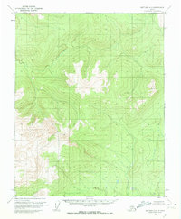
Other maps of this area

1951 · Bettles
USGS Topo · 1:250,000

1951 · Tanana
USGS Topo · 1:250,000

1956 · Bettles
USGS Topo · 1:250,000

1956 · Tanana D-2
USGS Topo · 1:63,360

1956 · Tanana D-3
USGS Topo · 1:63,360

1956 · Tanana D-1
USGS Topo · 1:63,360

1956 · Tanana
USGS Topo · 1:250,000

1960 · Tanana
USGS Topo · 1:250,000
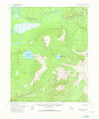
1970 · Bettles A-3
USGS Topo · 1:63,360

1970 · Bettles B-2
USGS Topo · 1:63,360